How a 1983 Plane Crash Helped Speed Up Civilian Use of GPS

Pincasso/Shutterstock.com
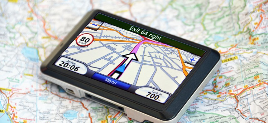
The Reagan administration sped up the implementation of location-finding services for civilian use after the Soviet military shot down a passenger aircraft.
On the first day of September in 1983, the Soviet Union shot down a plane. Its military officers thought it was a spy plane, they said later. But it was not: It was a passenger jet, Korean Air Lines Flight 007, and the 269 people on the plane all died.
The flight had originated in New York; one of the passengers was a U.S. congressman. At first, the Soviet Union wouldn't even admit its military had shot the plane down, but the Reagan administration immediately started pushing to establish what had happened and stymie the operations of the Soviet Aeroflot airline. President Reagan also made a choice that, while reported at the time, was not the biggest news to come out of this event: He decided to speed up the timeline for civilian use of GPS.
The U.S. had already launched into orbit almost a dozen satellites that could help locate its military craft, on land, in the air, or on the sea. But the use of the system was restricted. (It was meant, for instance, to help powerful weapons hit their targets—it wasn't the sort of tool governments usually want to make publicly available.) Now, Reagan said, as soon as the next iteration of the GPS system was working, it would be available for free.
It took more than $10 billion and until over 10 years for the second version of the U.S.'s GPS system to come fully online. But in 1995, as promised, it was available to private companies for consumer applications. Sort of. The government had built in some protection for itself—"selective availability," which reserved access to the best, most precise signals for the U.S. military (and anyone it chose to share that power with).
It didn't take long, though, for commercial providers of GPS services to start complaining. Location-based services, after all, are only as good as their actual usefulness—and if you've got a customer lost in the woods, you want that customer to know as precisely as possible where they are so they can get un-lost. In 2000, not that long before he left office, President Clinton got rid of selective availability and freed the world from ever depending on paper maps or confusing directions from relatives again.
GPS has not, however, been a panacea for international conflicts over the positioning of large vehicles. Just a few years ago, in 2007, a group of British sailors were detained by the Iranian government, which said they had wandered into Iranian waters. The British GPS system showed the boats in Iraqi waters.But it didn't matter. According to the Iranian authorities, they had been in Iranian waters. The sailors were released eventually—but only after almost two weeks of discussion over where, exactly, they had been.
(Image via Pincasso/Shutterstock.com)


