Preventing Wildfires Could Start With Data From Controlled Burns

GettyImages/ Christopher Kimmel / Aurora Photos
Sage combines machine learning with data from edge sensors to provide on-the-spot detection, monitoring and analysis of a burning area.
Wildfires can travel across grassland as fast as 14 miles each hour. The California Thomas Fire in 2017 spread a rate equivalent to a football field every second. A fire can completely engulf a house within five minutes, according to Ready.gov.
To help natural resources managers better detect and mitigate wildfires, researchers developed a platform that combines edge sensors with machine learning to provide on-the-spot detection, monitoring and analysis of a burning area.
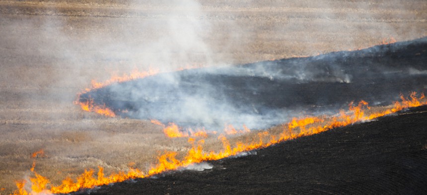
In a demonstration of the Sage platform in Kansas, researchers from Argonne National Laboratory collected almost 60 DVDs worth of data from cameras, microphones, rainfall, temperature and humidity sensors as well as weather and air quality stations on the progression of smoke and fire during a controlled burn of the Konza tallgrass prairie.
The data will be used to train a machine learning algorithm that can make determinations of the behavior of other fires in real time.
Sage uses low-power processors, sensors, cloud computing and Waggle, an Argonne-developed open-source wireless sensor platform, in its sensor nodes that can actively analyze and respond to data collected at the network edge.
Because Sage allows for on-the-spot detection, monitoring and analysis of a burned area, scientists and natural resources officials could use the quickly analyzed, multi-instrumented data to get ahead of forest fires.
“When it comes to forest fires, time is absolutely of the essence,” Argonne computational scientist Rajesh (Raj) Sankaran said. “Often, there’s no time to move data from the field — where high-speed connectivity might be an issue — to the lab. With Sage, we’re getting the pertinent information we need when we need it.”
With Sage’s intelligent, or software-defined sensor network, researchers will be able to better collect and analyze data that is essential for understanding the impacts of not just wildfires but also for applications related to water level detection in streams to vehicle tracking and climate change.
Researchers plan to deploy Sage in California, Colorado, Illinois and Texas and hope to set up a continent-spanning network of smart sensors running the technology.
The team is also partnering with a University of Oregon researcher who is working with the Federal Emergency Management Agency to build wildfire monitoring stations in the Pacific Northwest.
Sage is funded by the National Science Foundation and developed by the Northwestern-Argonne Institute for Science and Engineering, a partnership between Northwestern University and the Department of Energy’s Argonne National Laboratory.


