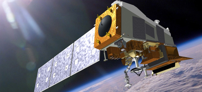
First Instrument Deemed Ready for NOAA’s Next-Gen Polar Orbiting Satellite

The Joint Polar Satellite System (JPSS) will launch the first of two planned satellites in 2017. NASA
Its timely completion bodes well for the agency's $11 billion program to replace vital weather-monitoring spacecraft.
The first of five advanced instruments to be installed aboard the country’s next-generation polar orbiting environmental satellite successfully completed a key review in late April.
The instrument, known as the Clouds and the Earth’s Radiant Energy System (CERES), was developed by Northrop Grumman and will help scientists understand the Earth’s energy balance. Its timely completion bodes well for the National Oceanic and Atmospheric Administration’s $11 billion Joint Polar Satellite System (JPSS), which will launch the first of two planned satellites in 2017.
“CERES is the first JPSS-1 instrument to reach this important milestone, and the others are not far behind,” said Mary Kicza, assistant administrator for NOAA’s Satellite and Information Service. “We’re on track to have JPSS-1 ready to launch in 2017, adding to a robust satellite fleet that provides vital environmental intelligence for the nation and the world.”
Both the NOAA inspector general and the Government Accountability Office have kept a close eye on NOAA’s JPSS program over the past 18 months, in large part because the agency faces a potential gap in polar orbiting satellite coverage. NOAA currently relies heavily on a converted demonstration satellite launched by the JPSS team in 2011 to gather the lion’s share of real-time data like the direction, speed and intensity of storms, all of which feed into NOAA’s forecast models that track storms affecting the whole country.
Yet that satellite has a short life expectancy, and GAO officials have predicted a gap in coverage of anywhere from 17 to 54 months, the likes of which would dramatically affect the accuracy of storm forecasts, such as the one that predicted Hurricane Sandy’s westward landfall in late 2012.
CERES is one of five instruments that will fly aboard JPSS-1. The others are:
- The Advanced Technology Microwave Sounder (ATMS) and Cross-track Infrared Sounder (CrIS) will work closely together to provide atmospheric and temperature profiles for weather forecasting
- The Visible Infrared Imaging Radiometer Suite (VIIRS), which will create high-resolution imagery of the atmosphere using visible and infrared channels
- The OMPS, or the Ozone Mapping and Profiler Suite, which will measure ozone concentration in the atmosphere and provide significant input to the numerical forecast models
Meanwhile, NOAA’s other major satellite acquisition, the $11 billion Geostationary Operational Environmental Satellite (GOES-R), is on pace to launch by early 2016. Geostationary satellites orbit higher above the earth’s surface than polar-orbiting satellites do, and the data they produce are geared toward long-term weather forecasting.
Combined, both next-generation satellite programs will produce a gargantuan amount of weather data for scientists, weather forecasters and researchers to sift through -- up to 20 terabytes per day.


