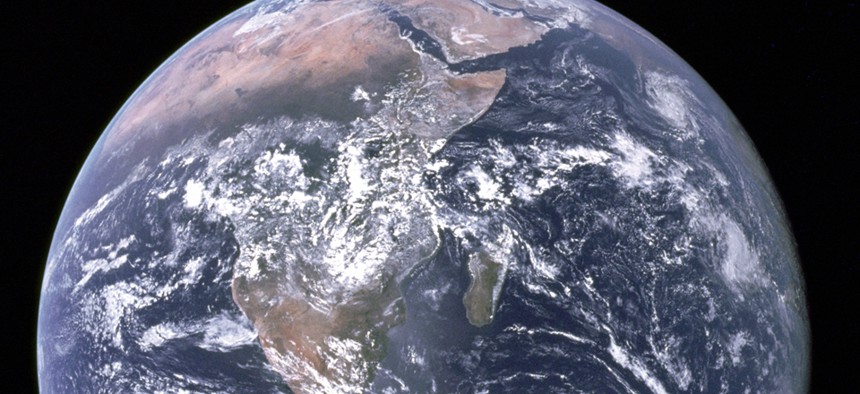
The Most Valuable Data on Earth?

NASA file photo
That’s a pun. Here’s the White House plan for Earth data.
Earth data creates for the economy about 10 times what the U.S. government spends to gather it, and the White House wants that margin to grow even wider.
That’s the aim of the first National Plan for Civil Earth Observations, which the White House Office of Science and Technology Policy released last week. The plan is a blueprint for federal Earth-observing projects “that help protect life and property, stimulate economic growth, maintain homeland security and advance scientific research and public understanding,” Timothy Stryker, who directs the U.S. Group on Earth Observations at OSTP, said in a blog post.
Stryker emphasized to Nextgov the value of the freely available and easily discoverable data. “Federal agencies manage a variety of observations of the Earth’s atmosphere, oceans, land surfaces and the interactions among them,” he said. “Many kinds of Earth systems data are already available through agency Web portals and services, and we are working to make them even more discoverable through the administration’s various open data initiatives – including the Climate Data Initiative.”
Regular Nextgov readers know they benefit from government weather data in the form of forecasts, weather apps, satellite images and more. Earth observations also provide information about natural resources, broader climate trends, disasters, land-use changes, ecosystem health, ocean trends and more.
The U.S. government is the world’s largest provider of Earth data, according to the White House. Eleven departments across government spend $3.5 billion a year collecting the data that in turn adds $30 billion to the economy, and possibly much more.
The investment includes about $2.5 billion in satellite systems and more than $1 billion for airborne, terrestrial and marine networks and surveys -- such as buoys and fishery surveys, the report says.
“These publicly funded data are made open to the greatest extent possible to advance human knowledge, to enable private industry to provide value-added services, and for general public use,” the plan says. “As the nation’s Earth-observation capacity has grown, however, so has the complexity and challenge of its most effective use for public benefit.”
This plan is an extension of the National Strategy for Civil Earth Observations, which was released last year. It will be reconsidered every three years.


