Video: NASA's Icebridge Flies High Over Both Poles

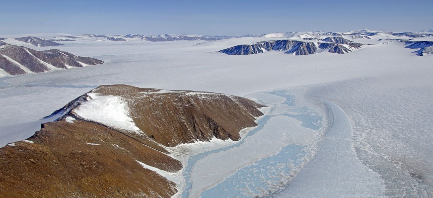
The view from a 2013 IceBridge flight. NASA
How much snow is at the poles? NASA wants to know.
While NASA often seems more focused on what's happening on other neighboring planets, it also does a lot of work here on Earth.
Operation IceBridge, NASA's 6-year mission to study the changing landscape of the Earth's poles from up above, for the first time will have two campaigns flying in the same year.
One mission will head down to the antarctic region to measure the recent annual snow and ice accumulation, and the other will fly north to the Arctic region to record the snow and ice measurements post-melt.
This year, the missions will be scaled down and the planes used will be smaller: the G-V aircraft, on loan from the National Center for Atmospheric research, and NASA's own Falcon 20. These small craft can cover more area, but have to carry a small payload of scientists and instruments.
The most important item on board each craft? A laser altimeter.
"What that does, it fires out several thousand laser shots every second, and we also measure the position and the orientation of the aircraft and the direction of which the laser shots are exiting the aircraft," said John Sonntag, IceBridge Arctic 2015 mission scientist. "That lets us assign, once we do all the measurements, a latitude, a longitude and a height to where each one of those laser shots bounces off the ground, the ice in our case. And that lets us build up a very, very detailed and very accurate topographic map."
To see the IceBridge flights, check out the video from NASA below:


