DARPA Wants Tools to Reimagine Underground Worlds in 3D

MemoryMan/Shutterstock.com
The agency is looking for commercial tech to map subterranean environments.
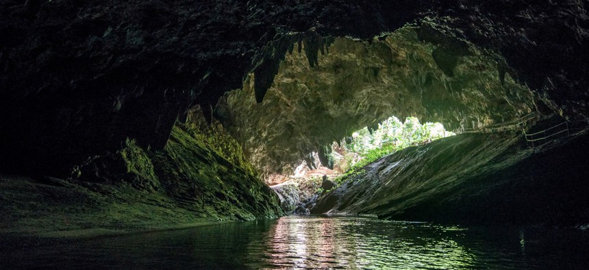
The Pentagon’s research wing wants innovative new technologies to map human-made tunnels, natural cave networks, and other subterranean infrastructures that pose security challenges for both combat operations and disaster-related missions.
The Defense Advanced Research Projects Agency issued a request for information last week about advanced technologies and methodologies for 3D mapping and surveying the intricate underground worlds.
“What makes subterranean areas challenging for precision mapping and surveying—such as lack of GPS, constrained passages, dark or dust-filled air—is similar to what inhibits safe and speedy underground operations for our warfighters,” Timothy Chung, program manager in DARPA’s Tactical Technology Office said in an announcement. “Building an accurate three-dimensional picture is a key enabler to rapidly and remotely exploring and searching subterranean spaces.”
DARPA ultimately hopes to acquire high-accuracy geolocation data from areas it specifically defines and high-resolution georeferenced surveys of subterranean environments.
The request comes in support of the agency’s recently launched Subterranean Challenge, or SubT. The three-year competition aims to build systems that can swiftly search and adequately map treacherous underground areas, equipping troops and first responders with stronger capabilities to execute missions that lie below the earth’s surface.
In its announcement, the agency said it wants commercial products, software, and services that are readily available to enable high-fidelity 3D mapping and surveys underground. DARPA is particularly interested in identifying the most precise commercial-off-the-shelf technologies and related software or processing workflows that exist in the underground 3D mapping space.
“Of interest are available technologies that offer high accuracy and high resolution, with the ability to provide precise and reproducible survey points without reliance on substantial infrastructure (e.g., access to global fixes underground),” the announcement said. “Additionally, relevant software should also allow for generated data products to be easily manipulated, annotated, and rendered into 3D mesh objects for importing into simulation and game engine environments."
Respondents may be asked to demonstrate their technologies or methods to determine feasibility of capabilities for potential use in the SubT Challenge and accurately georeferenced data may aid in scoring SubT competitors’ performance.
DARPA said submissions are due on April 15 by 1 p.m.


